LOCAL ARCHIVES & GPS
Bridging deeds and modern coordinates
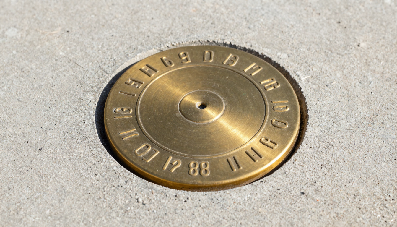
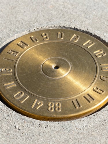
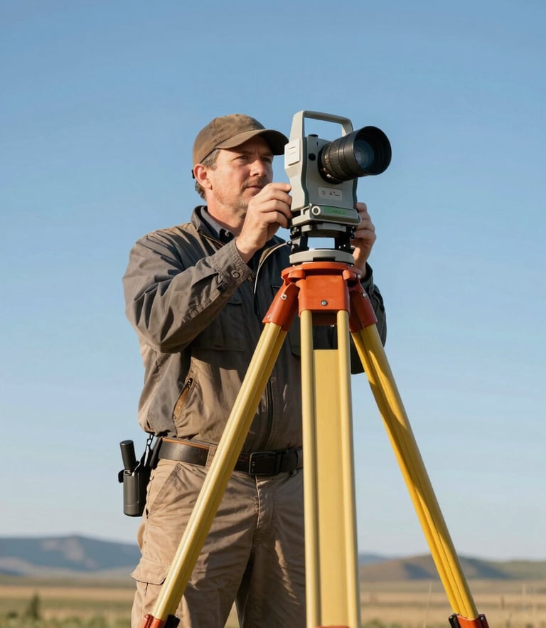
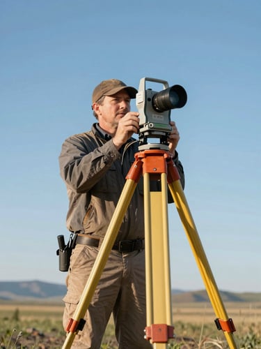
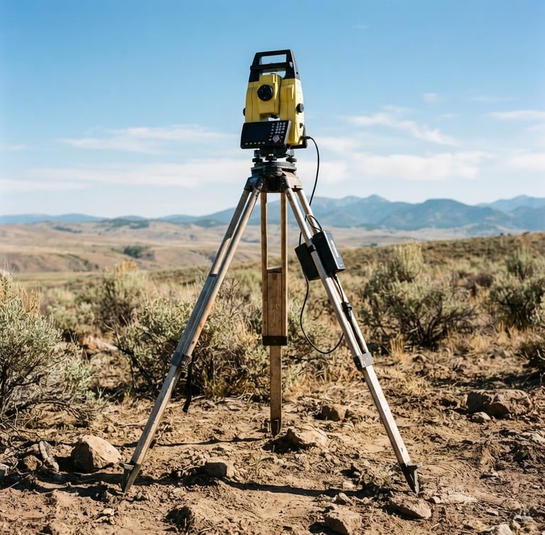
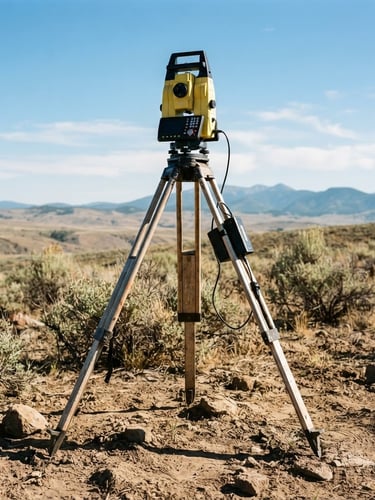
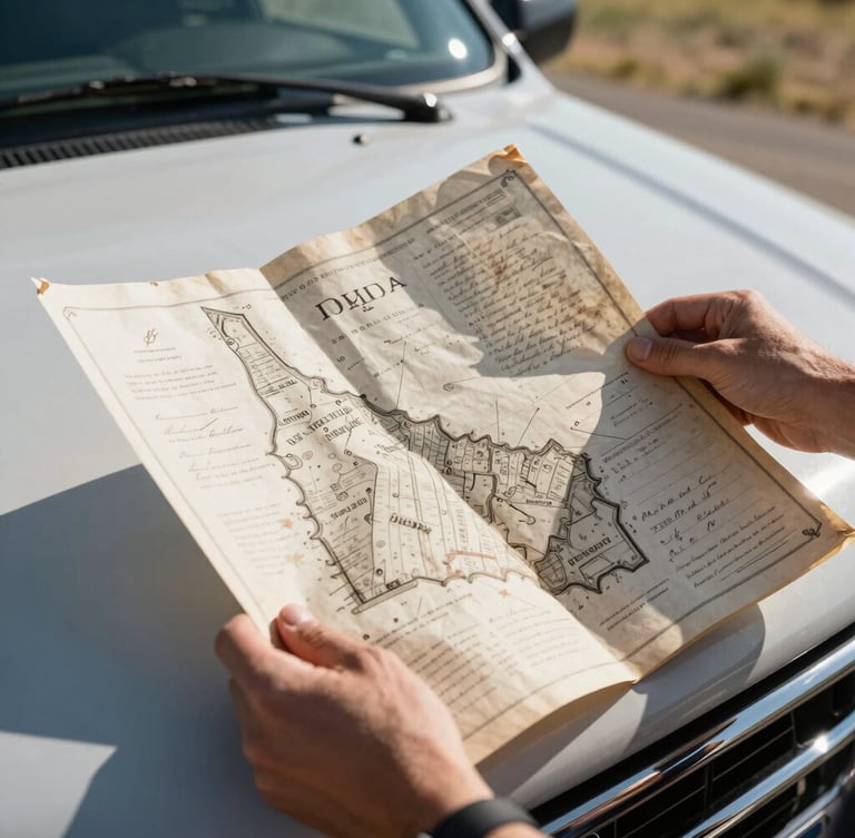
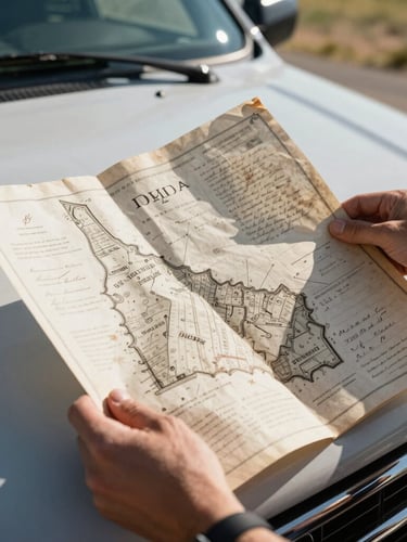
Every parcel of Treasure Valley land carries a history recorded in legacy paper deeds and original iron monuments. We bridge the gap between these historic legal descriptions and exact physical coordinates using state-of-the-art GPS telemetry.
Our field crews meticulously recover original corner markers, run rigorous mathematical calculations, and map each boundary to ensure your real estate transactions and construction projects stand on legally solid ground.