Precision marked in Idaho soil.
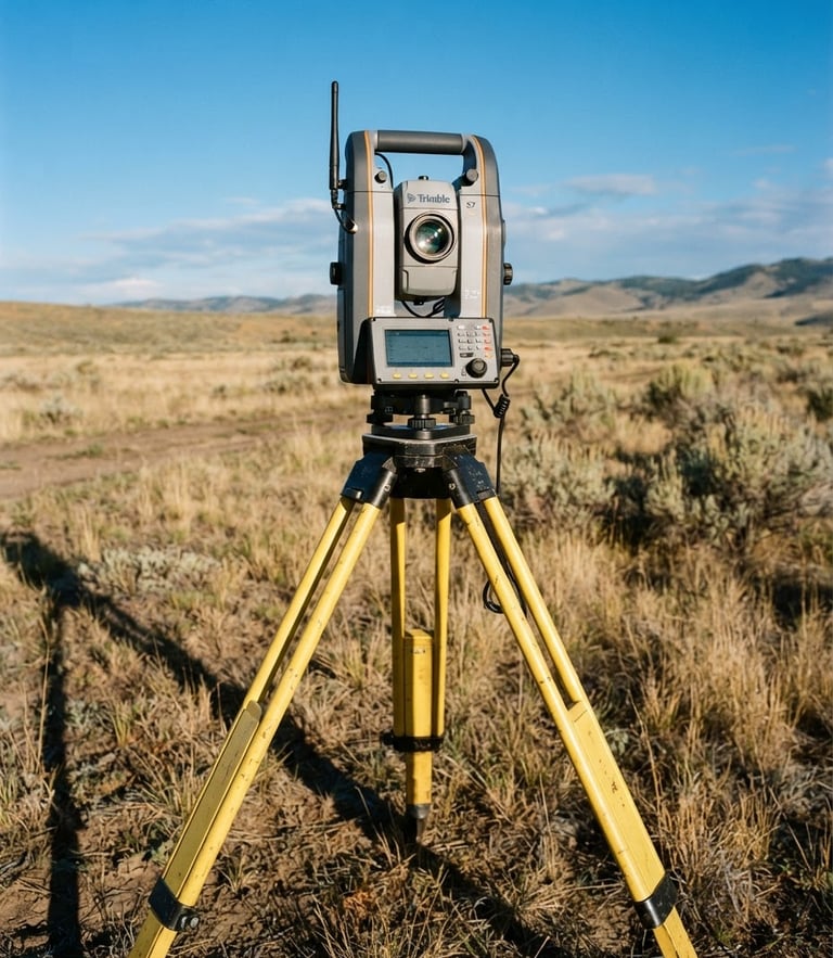
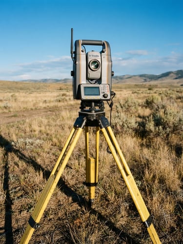
We combine advanced GPS telemetry with deep archival research to establish legal boundary certainty for developers, builders, and homeowners across Nampa.
Our core surveying services
From monument recovery to subdivision planning, we deliver certified maps and exact physical layouts that stand up to legal scrutiny.
Boundary Mapping
Precision Staking
Subdivision Planning
We locate original iron pins, resolve fence line disputes, and deliver legally defensible land maps for residential and commercial properties.
Exact structural and utility layouts mapped directly onto the earth to keep commercial developments and municipal builds on track.
Detailed plat mapping and easement planning designed specifically to meet Nampa municipal codes and streamline developer approvals.
How we mark the line
Deed Research
Field Recovery
Certified Marking
We analyze historical records, original county plat maps, and adjacent legal descriptions to build an absolute mathematical framework.
Our crews locate physical evidence on-site, using high-precision GPS telemetry to find buried brass markers and monuments.
We set permanent iron pins, flag the boundary lines, and deliver a stamped, legally binding survey map of your property.
Secure your property lines
Protect your real estate investment with mathematical certainty. Contact our Nampa office today to schedule field recovery or construction staking.
Walking the Line LLC
Boundary certainty marked in Treasure Valley soil.
Sitemap
Home
About
Services
Contact
Nampa Office
info@walking-the-line.us
+1 (208) 845-3741
2105 E White Oak Ct, Apt 201, Nampa, ID 83687
Mon - Fri: 8:00 AM - 5:00 PM
© 2026 Walking the Line LLC-Licensed professional land surveyors in Idaho.
PRECISION BOUNDARY SURVEYING